
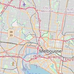
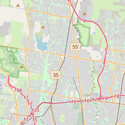


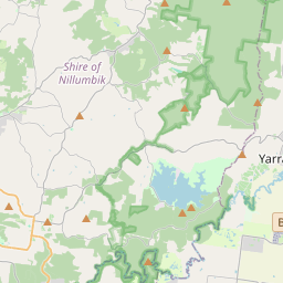

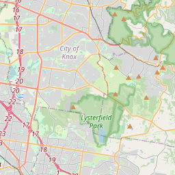
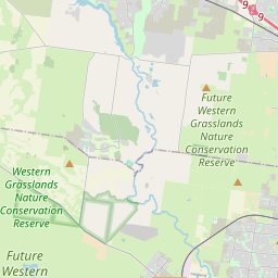

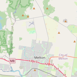


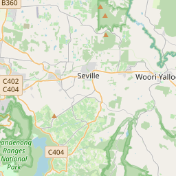

Leaflet | Data © OpenStreetMap contributors, Maps © OpenStreetMap contributors, CC-BY-SA, Imagery © Mapbox
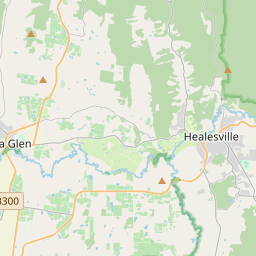
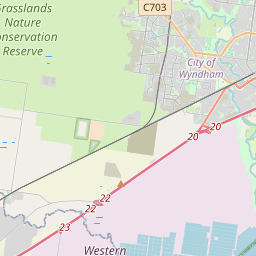
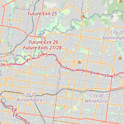
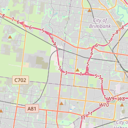
Gesamtstrecke: 65.41 km
Maximale Höhe: 339 m
Minimale Höhe: 17 m
Gesamtanstieg: 991 m
Gesamtabstieg: -984 m
Gesamtzeit: 08:56:29
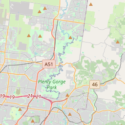
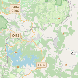
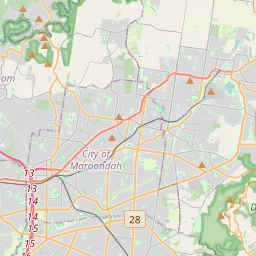
Maximale Höhe: 339 m
Minimale Höhe: 17 m
Gesamtanstieg: 991 m
Gesamtabstieg: -984 m
Gesamtzeit: 08:56:29
Es wir nicht der komplette Inhalt angezeigt. Bitte melde Dich an, so Du hier schon einen Account hast. Ansonsten, falls Du Giovanna oder Martin kennst, frage doch nach einem neuen Account.


